Why India's Old Census-Based Delimitation Sparks Political Firestorms
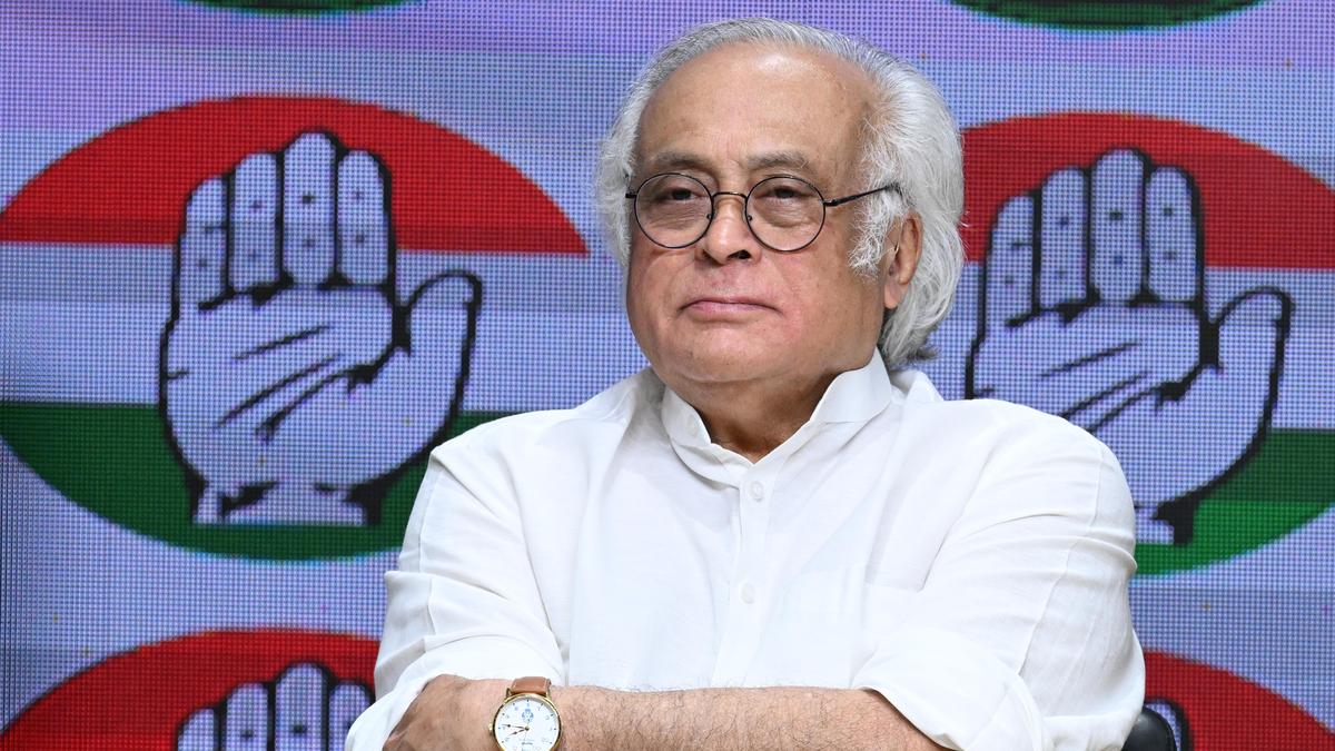
Former Lok Sabha Secretary General P. D. T. Achary questions the rationale behind changing the stable delimitation framework anchored to outdated census data.
Former Lok Sabha Secretary General P. D. T. Achary’s recent interview with The Indian Express has reignited a fiercely debated issue in Indian politics: the delimitation—or redrawing—of electoral constituencies based on population data. Achary makes a pointed argument against current proposals to overhaul the framework for allocating Lok Sabha seats using census data from 2011 or earlier, emphasizing that the Delimitation Commission—not the government—should independently determine seat distribution under Article 81(2)(a) of the Indian Constitution.
The Delimitation Debate: Census Data’s Political Weight
At the heart of the controversy is India’s 2001 census data freeze, which froze the allocation of parliamentary and assembly seats until after 2026 to encourage family planning efforts and prevent states with rapid demographic growth from gaining disproportionate electoral advantages. Meanwhile, population growth across states has diverged sharply: northern states like Uttar Pradesh and Bihar continue demographic expansion, while southern states like Kerala and Tamil Nadu have stabilized or declined in relative terms. Critics of changing the delimitation formula warn this risks political imbalance favoring states with higher fertility rates, potentially skewing federal representation and resource allocation.
Achary contends that the Delimitation Commission, an independent constitutional body, has historically played the central role in this process by operationalizing data objectively. He argues weakening this institution by political interference undermines electoral equity and the institutional checks that balance power among diverse states. This is crucial in a federal democracy like India’s, where seat numbers shape the political influence of states in parliament and thus impact policy priorities and funding.
Political Stakes and Historical Echoes
The delimitation issue is more than bureaucratic redistricting; it directly touches on electoral power, federal relations, and social equity. Changing the delimitation framework based on old census data could freeze the political dominance of states that experienced slower demographic growth while penalizing rapidly growing states—often those with poorer, rural populations. That would prolong inequalities long after the census was conducted.
The current freeze was a rare bipartisan compromise made in 2002 for a decade-long period, extended till 2026. Revisiting this arrangement now risks reopening old political wounds and fueling regional tensions. Similar delimitation tensions have sparked major unrest in other federal democracies when one region perceives it as underrepresented.
This matter also interacts with debates on the upcoming 2026 census and potential adjustments in parliamentary seats. Will India trust the Delimitation Commission again, or will political forces seek to tilt the rules? Achary’s reminder of constitutional safeguards is thus a cautionary signal.
What to Watch
In the months ahead, key signals include:
- Government statements or legislative proposals about delimitation post-2026.
- Reactions from states with differing demographic profiles—northern versus southern—on the delimitation debate.
- Judicial interventions on the independence of the Delimitation Commission.
- Public debates around the 2031 Census and its use in seat allocation.
The delimitation fight is a test of India’s federal democracy and how it balances changing demographics without compromising equitable representation. Achary’s insistence on preserving an independent, data-driven process is a timely call to guard the foundations of India’s electoral fairness.
For deeper reading on India’s evolving political frameworks, see  India Politics. The broader implications tie into Global Politics, where demographic shifts challenge democracies worldwide.
 Why change stable delimitation framework based on old Census...